- Free State Online
- Departments
- Office of the Premier
- Agriculture & Rural Development
- Education
- Health
- Coorporative Governance & Traditional Affairs
- Public Works & Infrastructure
- Police, Roads & Transport
- Social Development
- Sport, Art, Culture and Recreation
- Economic, Small Business Development, Tourism & Environmental Affairs
- Human Settlements
- Treasury
- Municipalities
- Entities
Profile of the Municipality
Spatial Description
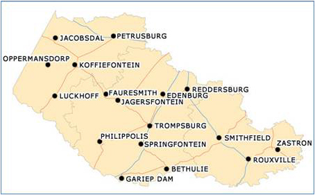
The Letsemeng Local Municipality is situated in the south-western Free State and forms parts of the Xhariep district. It has a surface area of 10 192 square kilometres, which is 29, 8% of the total Xhariep surface area. According to Census 2011, Letsemeng Local Municipality has a total population of 38 628, of whom 67,8% are black African, 23,4% are coloured and 8,1% are white, with the other population groups making up the remaining 0,7%.. The five towns situated in Letsemeng are:
- Koffiefontein (2.33 km2)
- Jacobsdal (60.36 km2)
- Luckhoff (30.52 km2)
- Oppermansgronde (335.18 km2) and
- Petrusburg (22.1 km2).
- Farmland constitutes 9730.22 km2 of the geographical municipal area.
Environmental Profile
Municipal Biodiversity Summary
The municipality covers an area of 1022539.3ha of which 87.5 % has remained as natural habitat. There are two formal land-based protected areas in the municipality, namely the Kalkfontein Dam Nature Reserve and the Rolfontein Nature Reserve. These two reserves cover 11380.90ha of the municipal area. There are no RAMSAR sites in the municipality. There are three biomes in the Letsemeng Municipality covering 1022538.4ha, namely Grassland, Nama-Karoo and Savanna. Eleven vegetation types cover 1022538.4ha of the municipality. There is also one vulnerable ecosystems, covering 34348ha, of the Letsemeng Municipality. This is the Bloemfontein Dry Grassland. The Freshwater Ecosystems in the municipality are characterized by two water management areas, namely the Lower and Upper Orange. Eight rivers run through the municipality, namely the;
- Berg,
- Kaalspruit,
- Knapsak,
- Kromellenboogspruit,
- Lemoenspruit,
- Modder,
- Orange and
- Riet.
Wetlands cover 4.8 % of the Letsemeng municipality. The terrain morphology indicates that most of the Letsemeng jurisdiction consists of lowlands with hills. Slightly irregular plains and pans characterize to Jacobsdal, Petrusburg, Koffiefontein and Luckhoff areas. The geology of Letsemeng consists mainly of Kalahari sands formations.
Climate
Letsemeng falls in the rainfall area of between 350 mm and 500 mm mean annual rainfall. Temperatures are extremely, and the area experiences hot mid-summer conditions and very cold winters.
Maps